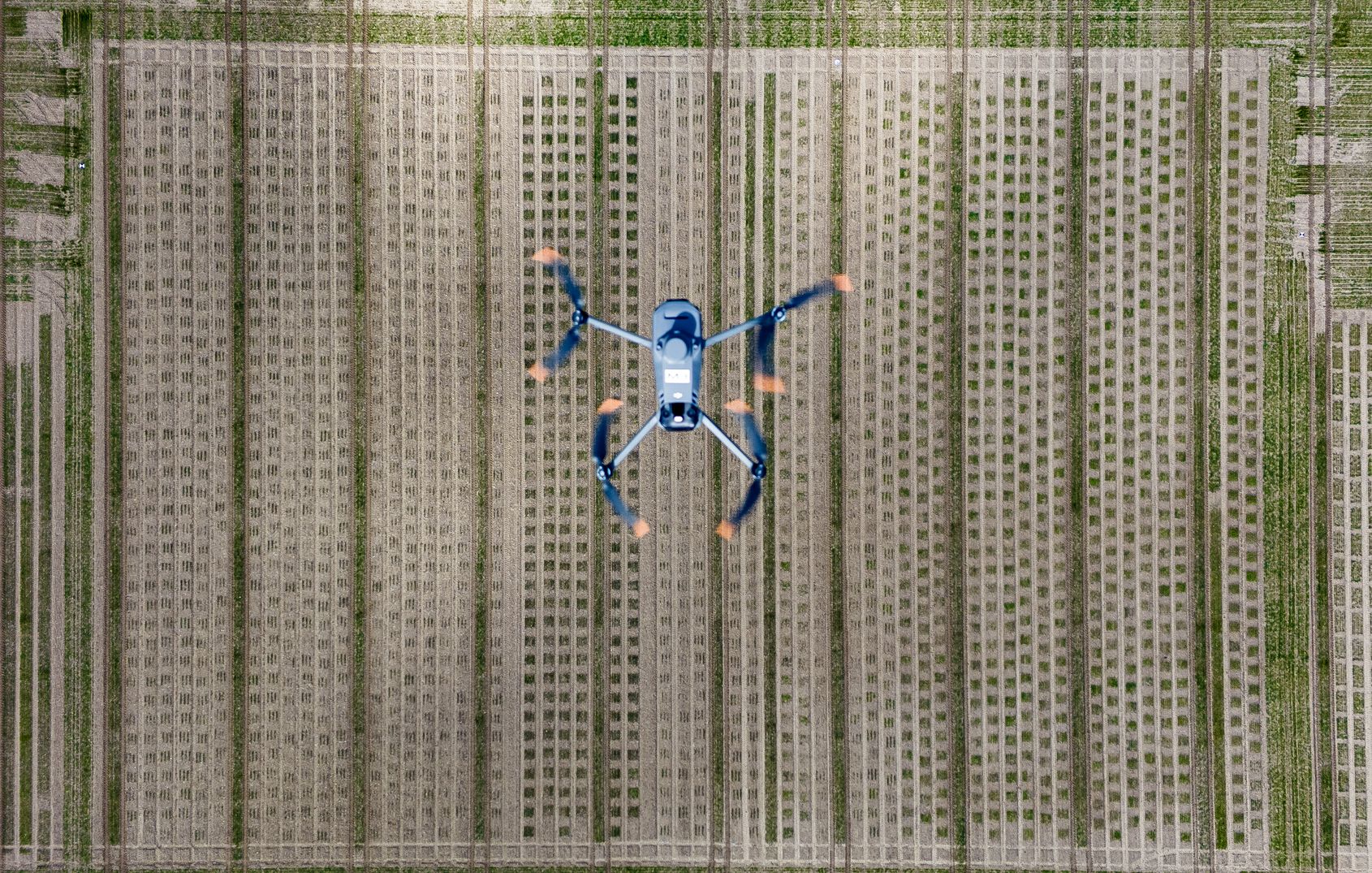
subject overview
The John Innes Centre (JIC) offers a comprehensive suite of drone-based phenotyping tools and services designed to support high-resolution agricultural and plant science research.
Drone Capture
An array of DJI drones with a variety of payloads that can capture high resolution RGB imagery, Thermal, Multi-spectral and LIDAR point cloud data. Calibration can be performed using several methods with our Mobile RTK GNSS correction stations, GPS survey equipment, radiometric calibration targets and ground control points. We have access to a number of processing pipelines including Pix4dMapper, Agisoft Metashape, DJI Terra along with several open-source solutions.
HighGround Plugin
Built at the JIC by Rob Ellis, provides an easy method for extracting canopy height from a DEM. Visit the JIC’s GitHub space to find out more about the project:
DEDAL
High-capability drones are more affordable than ever and this has made them a valuable tool for assessing plant health, but extracting scientific insights from these devices remains challenging. Key barriers include the high cost of proprietary software licenses, the hardware requirements for data processing, and the complexity of integrating open-source solutions and security best practices. At JIC, we are addressing this problem by hosting the OpenDroneMap project in our on-premises OpenNebula cloud, offering a high-performance service. This proof of concept server will let you both obtain an orthometric image and extract valuable data from it. Whether you are already using a drone or considering buying one, we encourage you to try our service and explore its capabilities.

